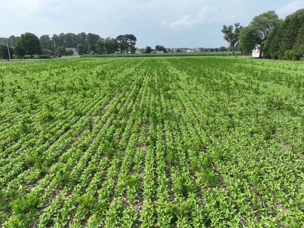
It’s a wild, weedy world out there, but some scientists are hoping to impose a little order on the seasonal chaos of weed infestations across the country. That’s the goal of a new, nationwide weed mapping project – a multi-institution collaboration called the Distribution of Troublesome U.S. Agricultural Weeds Pilot Project. These scientists are game to do the hard work of crafting and maintaining ever-changing distribution maps, but they need your help!

Scientists need the ag industry’s help tracking the growing distribution of troublesome and common weeds. (Photo credit: Claudio Rubione, GROW)
Tracking Troublesome Weeds
The goals of this project are two-fold, the organizers explained in a
news release. First, they want to improve awareness in the industry of the locations and spread of common and troublesome weed species in the U.S., via improved distribution maps. But they also want to find, support and harness the power of ongoing efforts by Extension scientists, educators and growers to track the spread of weeds in their own regions.
“While there are some existing sources of weed distribution information, we believe that the most current information on the local distribution of weeds is held by crop consultants and agronomists and the growers they work with, and this information is relatively inaccessible,” the organizers explained.
The mapping project will use the existing database and mapping platform known as
EDDMaps, run by the
Southern IPM Center and
Bugwood. The group is starting small, asking initially for cooperators to provide information on the distribution of the following weed species:
“We invite interested
crop consultants, agronomists, and weed scientists in the United States to join this project,” the organizers urged. You can do that by contacting them
here or visiting
the project website on EDDMaps. For more resources on weed identification, see the
GROW Weed ID Library.


 and then