
Archive
If you find yourself wondering what happened when, look no further than the Crop Report Archive. We’ve compiled past reports, listing the most recent first. You can search by Region, Month, or Reporter to find information.
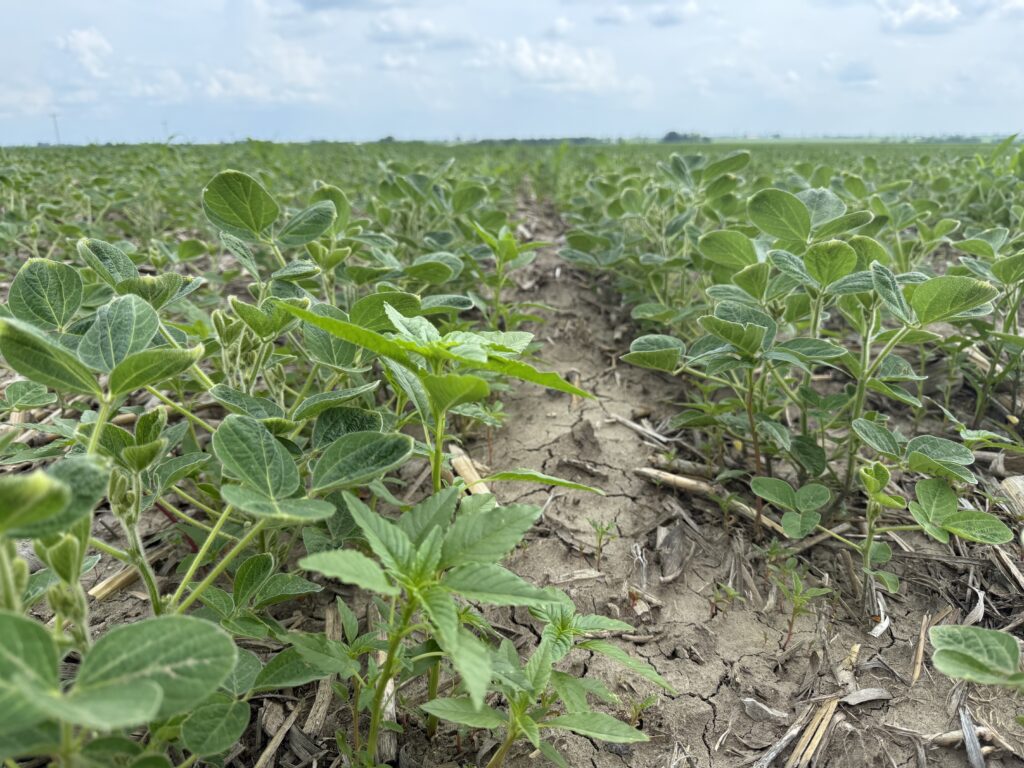
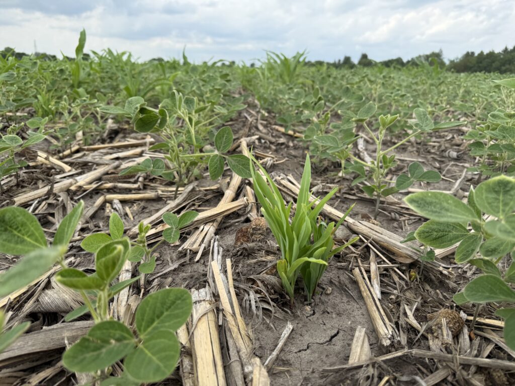
Both soybean and corn received a welcome rain on Monday, with local spots in Henry County receiving 1.5 inches and more in the forecast for Wednesday night—before a very hot and dry pattern sets in, with heat indexes forecasted to exceed 100 degrees. Corn is in the rapid growth stage, with most herbicide applications and sidedressing completed. Worked soybeans are outpacing those in no-till and minimum-till ground, and spraying is starting this week. Sprayers were rolling before the spotty thunderstorms arrived, with additional rain forecasted through midweek. Those unable to get into the field due to rainfall should have an opportunity later in the week as we shift to a hotter, drier summer pattern. These fields will need to be watched closely, as weeds will continue growing rapidly alongside the crop. Higher herbicide rates and different tank mixes may be necessary in these situations.
Wet and humid weather to begin the week with hot and dry to follow the next 7 days.
1.5 inches Monday with additional rain to fall into Wednesday evening.
Wet but no standing water so fields should dry out quickly to get back spraying later week.
Soybean postemergence spraying in high gear where fields can be sprayed with continuation of postemergence into the next 7 days.
V3-V5
V8 Average
None observed
Waterhemp, Volunteer Corn, Giant Ragweed
Heat stress even with our recent rains in Western Illinois may become an issue the next 7-10 days with forecasted high temperatures in the mid 90’s.
NEWSLETTER SIGN UP
Sign up to receive up-to-date news and offers directly in your inbox:
LINKS
FOLLOW FIELD ADVISOR
The Illinois Soybean Association (ISA) checkoff and membership programs represent more than 43,000 soybean farmers in Illinois. The checkoff funds market development, soybean production and government relations efforts, while the membership program, Illinois Soybean Growers (ISG) and the Illinois Soybean Growers PAC actively advocates for positive and impactful legislation for farmers at local, state and national levels. ISA upholds the interests of Illinois soybean farmers through promotion, advocacy, research and education with the vision of becoming a trusted partner of Illinois soybean farmers to ensure their profitability now and for future generations.
© 2026 Illinois Soybean Association
 and then